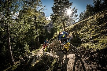
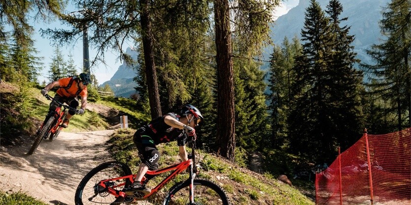
MTB trails and tours
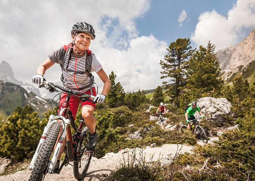
Discover the Dolomites on your mountain bike
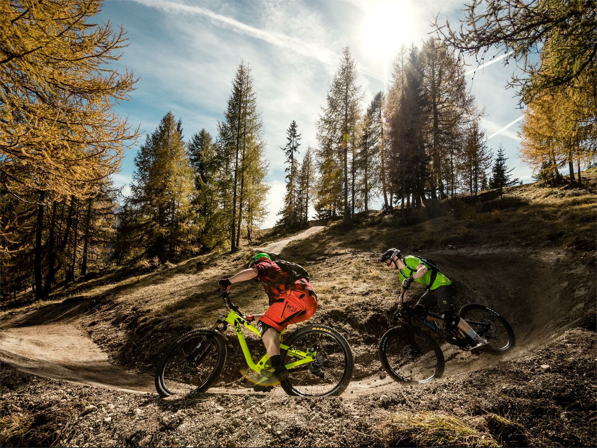
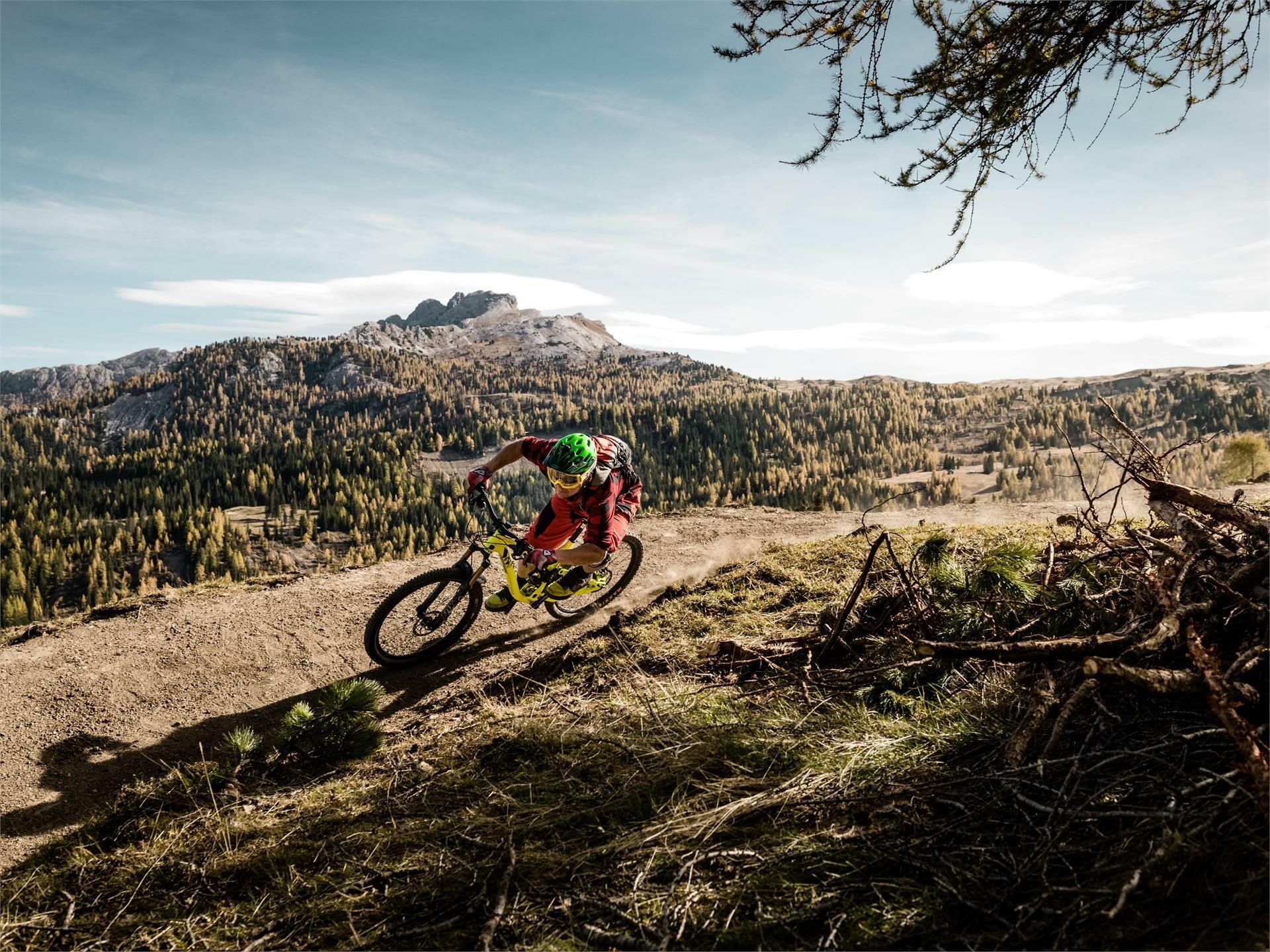
Whether you are a mtb bike novice or an experienced mountain biker, in Alta Badia you will find the right challenge. Find out which one is right for you from the proposals below.
Sellaronda Mtb Tour Clockwise
Starting from Corvara you go up to the Col Alto – Pralongiá plateau with the ski lifts Col Alto and Braia Fraida. From Braia Fraida a pleasant ride leads down to the Campolongo Pass and to Arabba. From the Campologo Pass you can also go down to Arabba with the chairlift Campolongo. In Arabba the Porta Vescovo cable car leads up to 2,500 meters where you can enjoy a unique view of the Marmolada glacier. The lower part of the trail that leads from the mountain station of the Porta Vescovo to the Fodom lift is rather challenging. From the top station of the Fodom lifts at the Pordoi Pass a long, enchanting panorama-downhill leads to Canazei where the Col Rodella cableway goes up, short above the Sella Pass. Enjoy the ride through the famous “Città dei Sassi” (lit.: Stone Town) at the foot of the Sassolungo and the long descent to Selva in Val Gardena. From Selva you can take the cable car Dantercepies until short above the Gardena Pass. Just below the mountain station you take the varied single-trail that leads down to Colfosco. A flat and panoramic dirt road brings you back to Corvara.
Key data
Length: 59 km - 36,66 ml
Height difference with the bike: 330 hm
Height difference with the lifts: 3670 hm
Time: 6 hours
Sellaronda Mtb Tour Counterclockwise
The Sellaronda MTB Tour in counterclockwise direction is a tour for trained cyclists, which offers breath-taking views of the Dolomites, UNESCO Wold heritage site. The tour demands some power, especially for some technical descents, that should be driven with respect.
From Corvara you ride the slightly rising dirt road up to Colfosco where the gondola lift Plans - Frara brings you short above the Gardena Pass. A special highlight during the ascent is the 360° view over the Dolomites. After the descent to Selva you take the Ciampinoi gondola to the foot of the Sassolungo where you go for a nice ride along the foot of the Sassolungo, through the “Città dei Sassi” (lt.: Stone Town) and until short below the Sella Pass where you descent to the Val di Fassa via steep switchbacks. From Canazei the lifts Pecol and Col dei Rossi bring you up to 2400 meters, where you can descend through the meadows to Arabba. A short distance on asphalt road through the woods brings you to the Cherz plateau where you cycle down to the Campolongo Pass. Here you go up with the Costoratta chairlift at the foot of the Boé from where you descend to the starting point in Corvara.
Key data
Length: 56 km - 34,79 ml
Height difference with the bike: 1020 hm
Height difference with the lifts: 2400 hm
Time: 6 hours
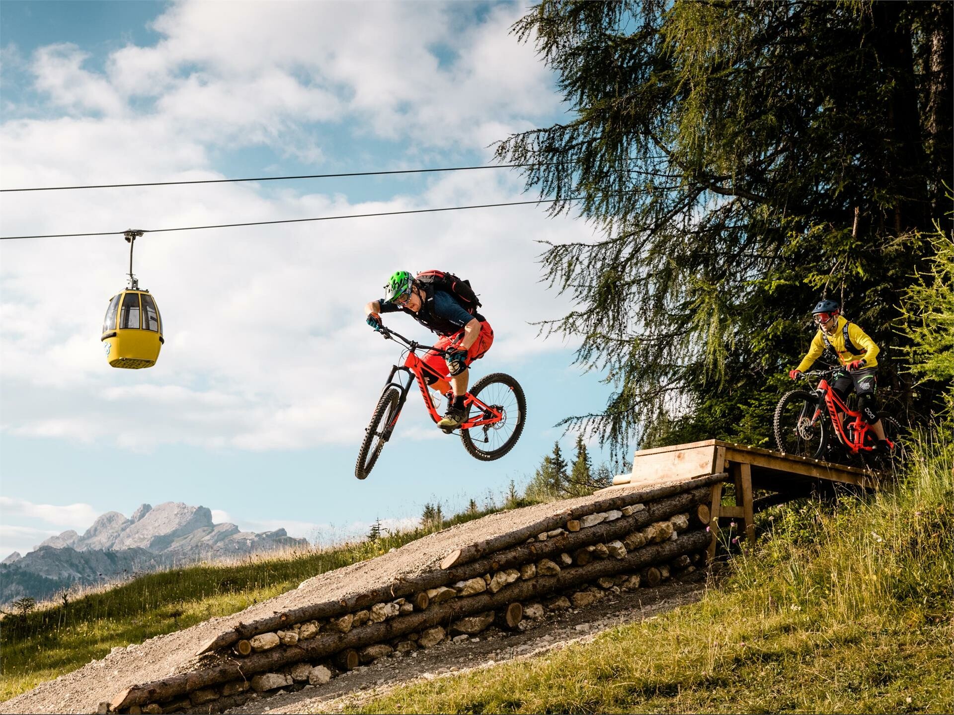
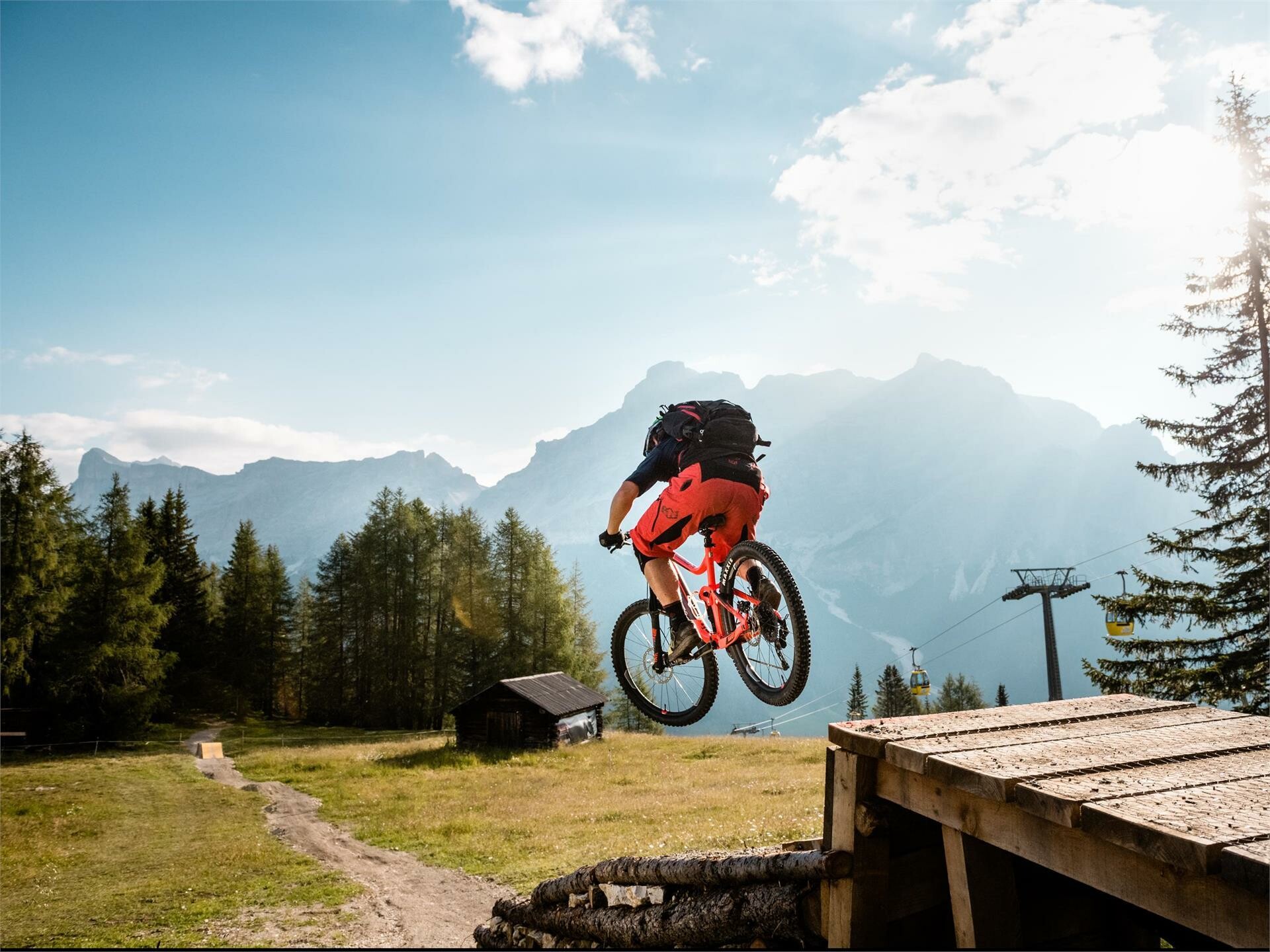
Bike Beats - Avëna Trail
The Ödli and Cör trails join at 1700 m of altitude to form the last section of the trail, the Avëna blue trail. Like a vein flowing through the last stretch of the forest until it reaches the valley, the blue trail includes an endless series of very exciting and difficult bends where expert bikers can show their skills.
This medium-difficult trail extends for a little more than 2 km and it is the section in the park with the highest altitude difference, 283 m.
Similar routes nearby
These suggestions were created automatically.
Difficulty Easy
Distance 1.7 km
Duration 0:07 h
Descent 271 m
Highest point 1,825 m
Lowest point 1,559 m
Attachments
Bike Beats - Bridge Line
The Bridge Line is a variant for the last section of the Avëna Trail. The path that descends along the last stretch of wood on the slope of Piz Sorega has a spectacular view of the town of San Cassiano.
Difficulty easy
Distance 0.4 km
Duration 0:03 h
Ascent 49 m
Descent 49 m
Highest point 1,673 m
Lowest point 1,624 m
Attachments
Bike Beats - Cör Trail
The red trail “Cör” offers a combination of exciting and fun parts, which will make your heart, cör in Ladin, race during the entire ride. Cör is a medium/difficult trail which winds through the woods offering the opportunity for exciting jumps, waves, berms and wallrides. With 1290 m of length and an altitude difference of 142 m, riding your bike on the Cör trail will absolutely get your adrenaline going.
Difficulty Moderate
Distance 1.4 km
Duration 0:06 h
Descent 175 m
Highest point 1,996 m
Lowest point 1,825 m
Attachments
Bike Beats - Fle Trail
Bike Beats Pralongiá is a trail which goes through the meadows downhill from the Pralongiá. It is a medium-easy trail (blue) with a total length of 1120 metres and an altitude difference of 134 metres.
Difficulty easy
Distance 1.4 km
Duration 0:07 h
Descent 152 m
Highest point 2,047 m
Lowest point 1,899 m
Attachments
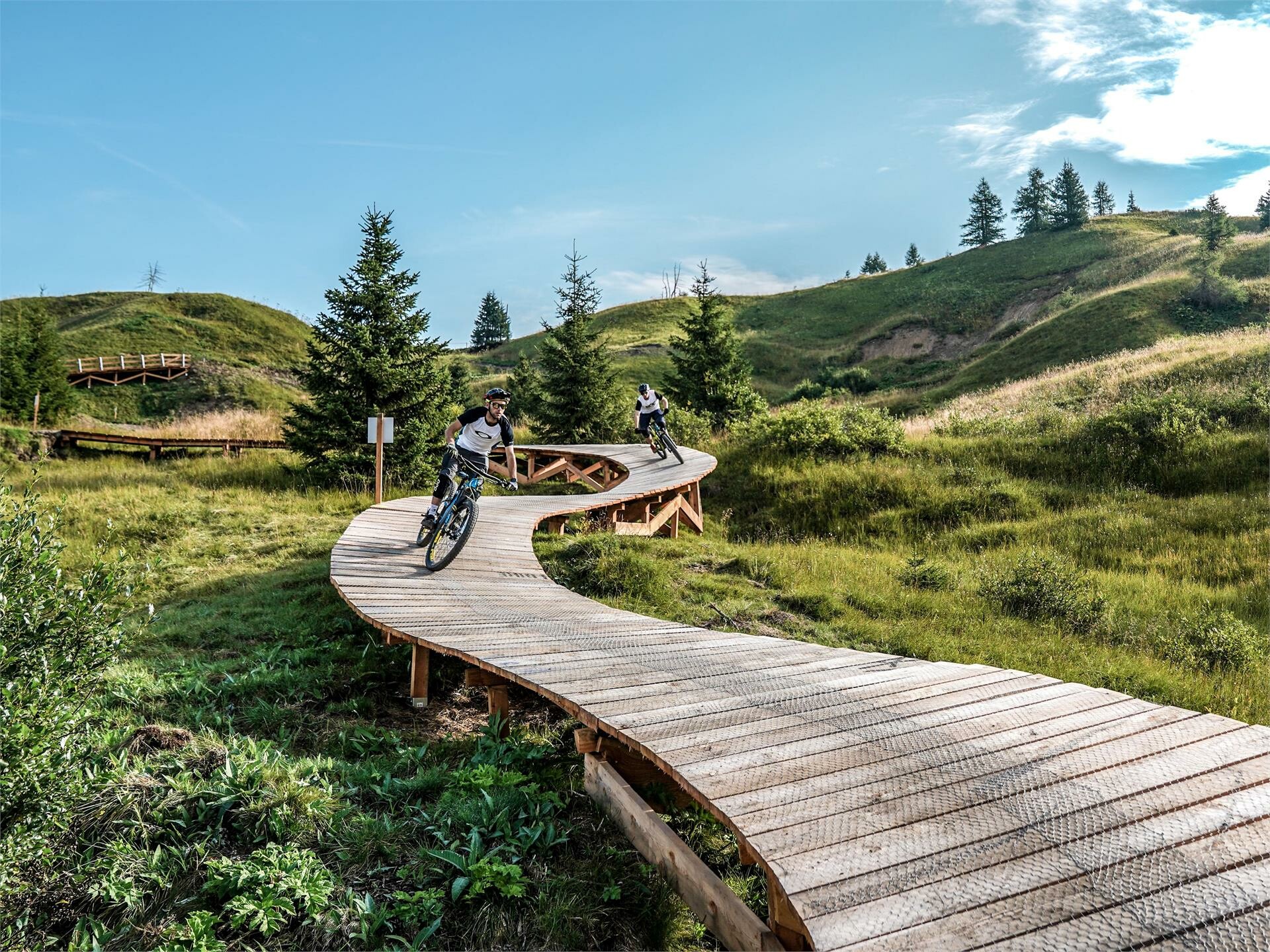
Bike Beats - Jump Line
The Jump Line, a variant of the Cör Trail, is the ideal route for experienced and demanding bikers. Riding through woods and meadows you can fill up on adrenaline while having fun on jumps of various heights and sizes. And to experience all the energy of the descent, easy drops and kickers.
Two FotoTraps, real photographic traps, will immortalize your passage.
Difficulty moderate
Distance 0.6 km
Duration 0:04 h
Descent 74 m
Highest point 1,954 m
Lowest point 1,883 m
Attachments
Bike Beats - Mans Trail
With the "Mans Trail" the Bike Beats “menu” offers even more adrenalin. After the Heart, the Eye, the Veins and the Breath, it's time for the Hands. The Trail Mans - in Ladin language hands, of moderate difficulty, calls for a sensitive touch and careful attention while riding along a fun route, where the trick lies in finding the optimal equilibrium between manual technique and balance.
Difficulty easy
Distance 1.9 km
Duration 0:08 h
Descent 204 m
Highest point 1,996 m
Lowest point 1,789 m
Attachments
Bike Beats - Ödli Trail
The trail “Ödli” is ideal to enjoy the Dolomites in all their beauty. Ödli means eyes in the Ladin language and it is with their own eyes that taking the easiest of the Bike Beats trails, bikers will have the opportunity to admire the magnificent scenery.
The trail extends along the right slope of the Piz Sorega for a total length of 1460 m and an altitude difference of 142 m.
Difficulty easy
Distance 1.6 km
Duration 0:07 h
Descent 172 m
Highest point 1,996 m
Lowest point 1,825 m
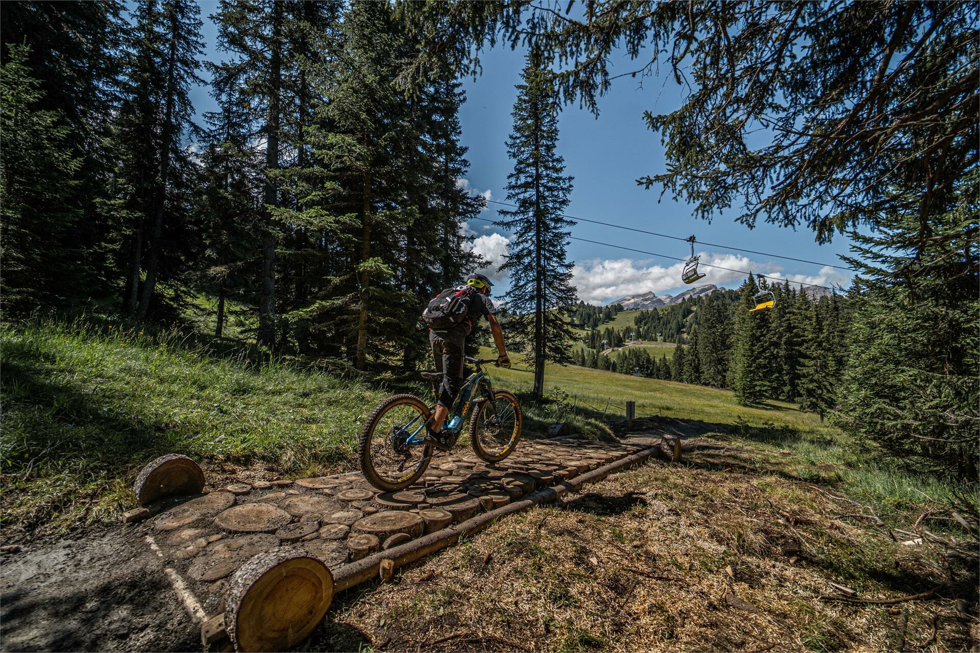
Bike Beats - Odlina Line
The Odlina track is a variant of the Ödli Trail in the Bike Beats Piz Sorega park.
The route descends through the woods, in flowing curves to rejoin the original Ödli Trail.
Ödli in the Ladin language means eyes. The track, in fact, the easiest of the Bike Beats, is with its of spectacular views a real delight for the eyes.
Difficulty easy
Distance 0.2 km
Duration 0:01 h
Descent 26 m
Highest point 1,967 m
Lowest point 1,940 m
Attachments
Frara MTB Single Track
The Alta Badia valley, the green valley at the heart of the Dolomites and a UNESCO World Heritage Site, has been a popular destination for leisure cyclists for years. At first it was racing bike enthusiasts who loved the mountain passes, but nowadays the Dolomites region in South Tyrol is also a magnet for mountain bikers.
Difficulty moderate
Distance 4.1 km
Duration 0:16 h
Ascent 16 m
Descent 456 m
Highest point 2,119 m
Lowest point 1,665 m
Attachments
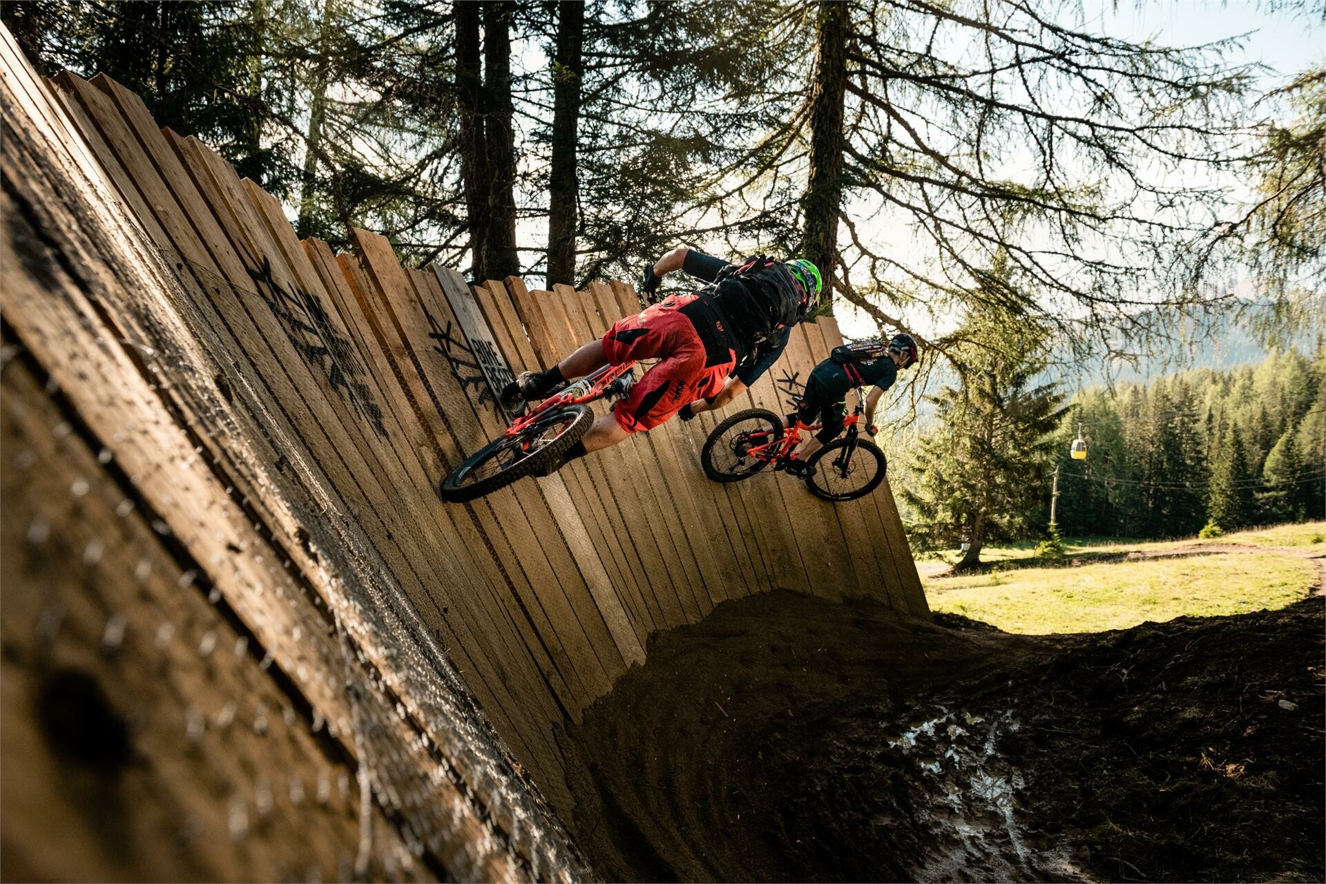
Gardenaccia Freeride Biking Route
Freeride biking is technically difficult mountain biking, involving jumps, steep bends and natural obstacles.
For experienced mountain bikers looking for a special challenge, as well as those in search of their first adrenaline kick, the Gardenaccia freeride routes are just the place.
There are two tracks to choose between, with different degrees of difficulty.
Difficulty difficult
Distance 3.2 km
Duration 0:12 h
Ascent 5 m
Descent 360 m
Highest point 1,790 m
Lowest point 1,430 m